I spent 4 days hiking in the Dolomites and you can too.
If you’d like to prep for hiking in the Dolomites here’s all you need to know. Note, rifugios book up relatively early, try to reserve at least one to two months in advance. Plan your hike for summer for the best weather (and for huts to be open). Avoid weekends if possible to minimize the amount of day hikers. Ps, need a packing list? Start here.
Hiking in the Dolomites in 4 days
On day one, we traveled from Trento to Vigo di Fassa to Torri Vajolet. The next day, we passed from Torri Vajolet through Passo Principe and by Lake Antermoia, through the lush Passo di Dona and the Val Duron to Sasso Piatto and Sandro Pertini. On the third day, we hiked through the famous Friedrich August path, through Passo Sella and Torri Sella to Val Lasties and the moon like L’Antersass. Finally ascending the final section to Rifugio Capanna Piz Fassa. And on day 4, we descended to Canazei town.
Click the link to jump to that section:
- Day 1: Rifugio Ciampedie to Torri Vajolet
- Day 2: Torri Vajolet to Rifugio Sandro Pertini
- Day 3: Friedrich August Path to Capanna Piz Fassa
- Day 4: Descent to Canazei
Hiking in the Dolomites day 1: Rifugio Ciampedie to Torri Vajolet
Getting to Rifugio Ciampedie from Trento
After day one hiking in the Dolomites we were totally beat. The hike was about 7 hours with a via ferrata at the end.
But our day started long before our hike began. We drove from Chiara’s lake house to Trento and took the 6:48 am bus from Trento to Vigo di Fassa. From Trento the bus was empty. But as we got into the mountain villages seats filled quickly. Lots of hikers, many locals and even children getting dropped off for summer camp.
My Dramamine kicked in and I was dozing off for the latter bit of the journey up and up into the mountain villages. We arrived just after 9 am. We stopped in a square for cappuccinos and brioche. That’s a sweeter Italian version of a croissant, typically stuffed with jam or chocolate. Last, we each used the loo, applied some sunscreen and began the hike to the gondola.
The gondola ride to Rifugio Ciampedie
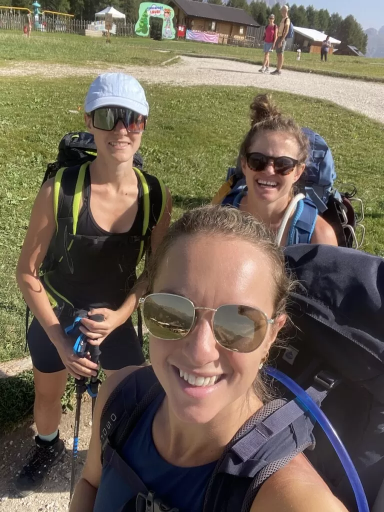
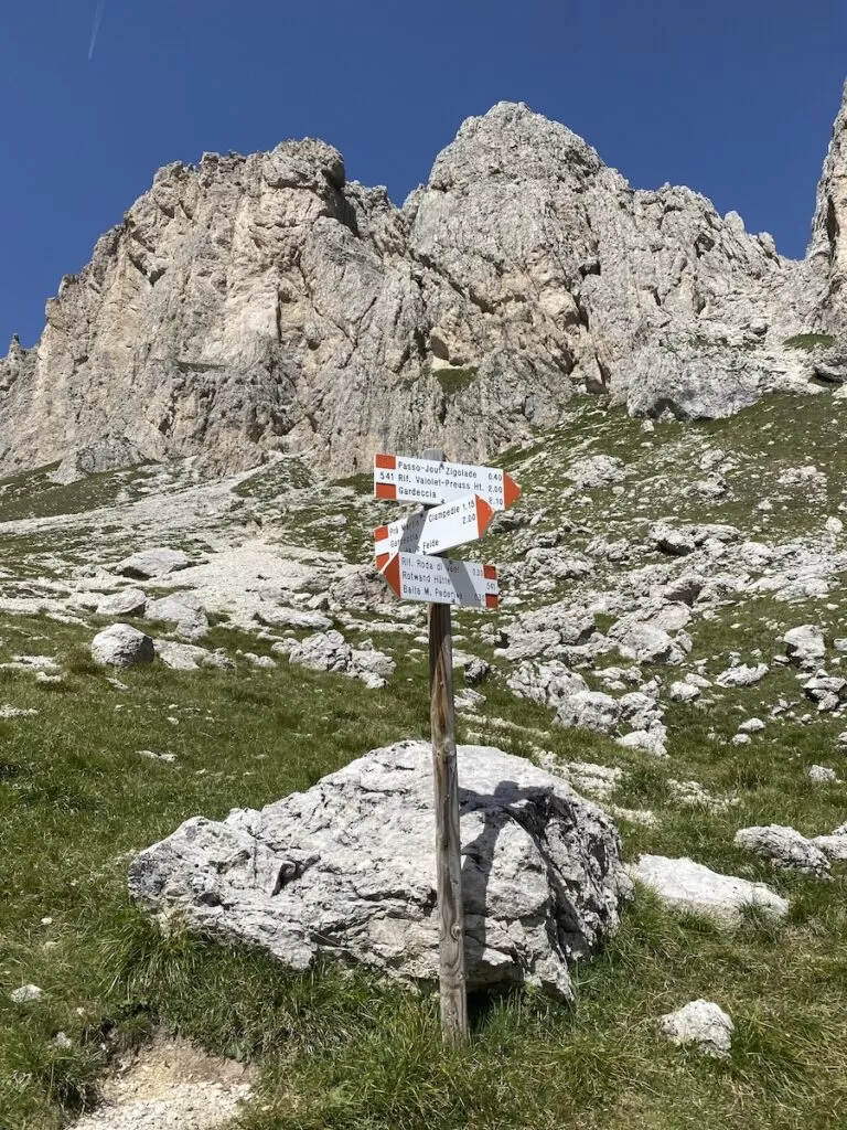
The gondola was quite busy with tourists, school groups and hikers. We began the official hike from Rifugio Ciampedie and followed the signs for 345 to Vial de la Feide.
Starting the Dolomites hike with Komoot
As always, we used Komoot, a walking and hiking app, to help direct us. This app is more popular than AllTrails in Europe, and tends to have better guidance.
Honestly, the route looks so long on Komoot. I can’t believe we did it. The entire day felt like we were climbing up and up to the heavens. Early on, I was feeling dizzy and nauseous from the altitude. I needed to rest for a minute before I could continue.
Luckily, the terrible sensation passed. I was worried I may need to return back home for a minute there. Chiara did not look amused.
It was very warm and the sun was beating on us all the time. The scenery was beautiful, which made all the incline and the heat slightly less intense. Unfortunately, we did get turned around and took the wrong path twice early on, which I was unhappy about.
Rifugio Kolner Hutte
Half way through our first day hiking in the Dolomites, we stopped at Rifugio Kolner Hutte to use the bathroom, have a snack and refill our water. Note, many of the rifugios do not have free water so when you do see it, you should stock up. At Kolner Hutte the water was icy cold and free.
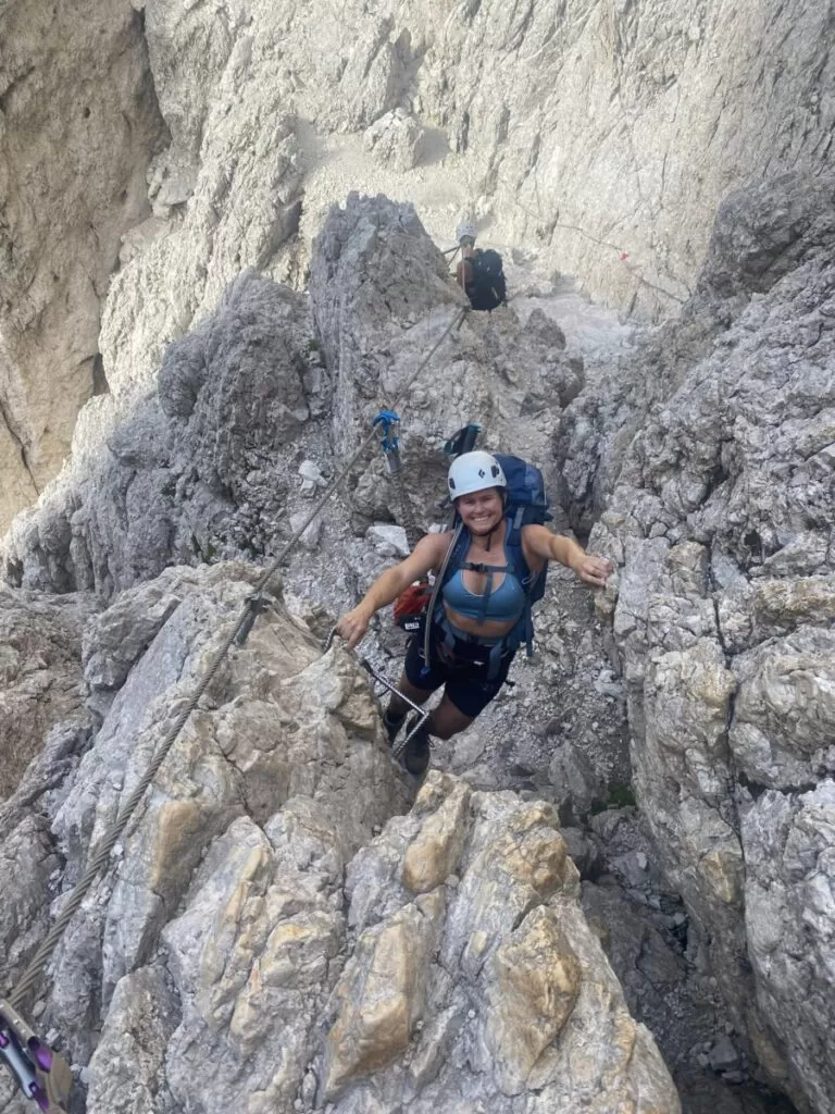
Next, we found the start of the via ferrata. This route is called Klettersteig Santnerpass or Ferrata al Passo Santner. To our unwelcome surprise, the via ferrata section was much further along than we anticipated. Most of the trail was simple, yet steep. It did not require the harness or ferrata system until the latter part..
This part of the day was challenging. The sun was hot and the incline got steepened aggressively. Eventually we reached the ferrata and later the peak. We took in the views and began our descent.
Descent to Torri Vajolet
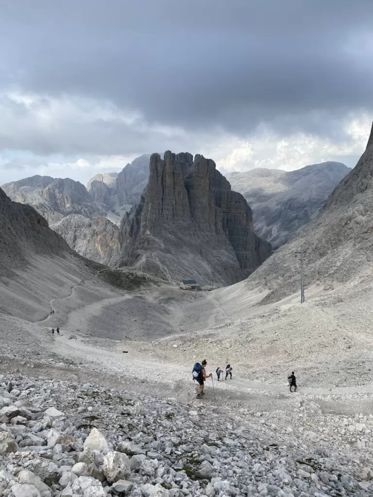
We descended down the backside towards Rifugio Re Alberto, where we’d spend the night. This section of the trail was very crowded with day hikers and rock climbers, especially compared with the rest of the day.
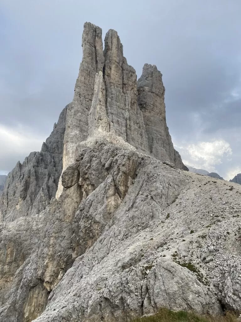
Re Alberto sits just beneath the famous Torri Vajolet, hence the crowds. The towers are indeed special. Especially in the evening when the gray stone turns pink, almost violet. Like a scene from a movie.
Sleeping at Rifugio Re Alberto, Dolomites
Rifugio Re Alberto was the biggest of the places we slept while hiking in the Dolomites. This was like a real hotel. Many people were spending a few nights there, climbing, mountain biking or doing day hikes in the surrounding area.
The water was not drinkable, and cost €2.50 for 500 ml, Julie was not pleased. The shower also was not free. It was coin operated by the minute. They did however have a full bar, games and great bedding.
Re Alberto offers full, half-board and a la carte options. We chose half-board. This means we received dinner and breakfast. Dinner is three-courses. An appetizer, entree and dessert served at 6:30pm. I chose the Zuppa di Orzo (one of my favorite Italian soups, made from barley), beef and mushrooms with polenta and the caramel panna cotta. Everything was very tasty and well portioned.
By the time we finished dinner my feet were aching and I was craving a warm bed. Luckily our room was just upstairs, and my bed was waiting for me.
Day 1 stats
- Uphill 3800 feet (1.16 km)
- Downhill 1700 feet (518 m)
- Total distance 6.83 miles (11 km)
- Duration 7 hours
Hiking in the Dolomites day 2: Torri Vajolet to Rifugio Sandro Pertini
Rifugio Sandro Pertini
I wrote this section from an Adirondack chair outside Rifugio Sandro Pertini, where we spent night two of hiking in the Dolomites. It was 5:27 pm, the sun was shining, my body was exhausted and I could feel the altitude in my lungs. Granted, I did have Covid just the week prior. On my body there were marks from my Osprey backpack on my hips and shoulders. My feet were aching, and my Morton’s neuroma was unhappy.
But, we did it. Our second seven hour day of hiking in the Dolomites.
Rifugio Sandro Pertini sits at 7600 ft (2317 meters) , with panoramic views overlooking the villages below and mountains in the distance. We had our own private room. To get there, we passed through the shared space with twin beds lined against the walls. The rifugio sleeps 15. They have a shower, unlimited time for €5. There’s no electricity, everything runs on a diesel generator. But you can still charge your devices through the power outlets. All the food and supplies is brought by ATV and there are monthly helicopter drops just outside. From where I was seated I could see the helipad.
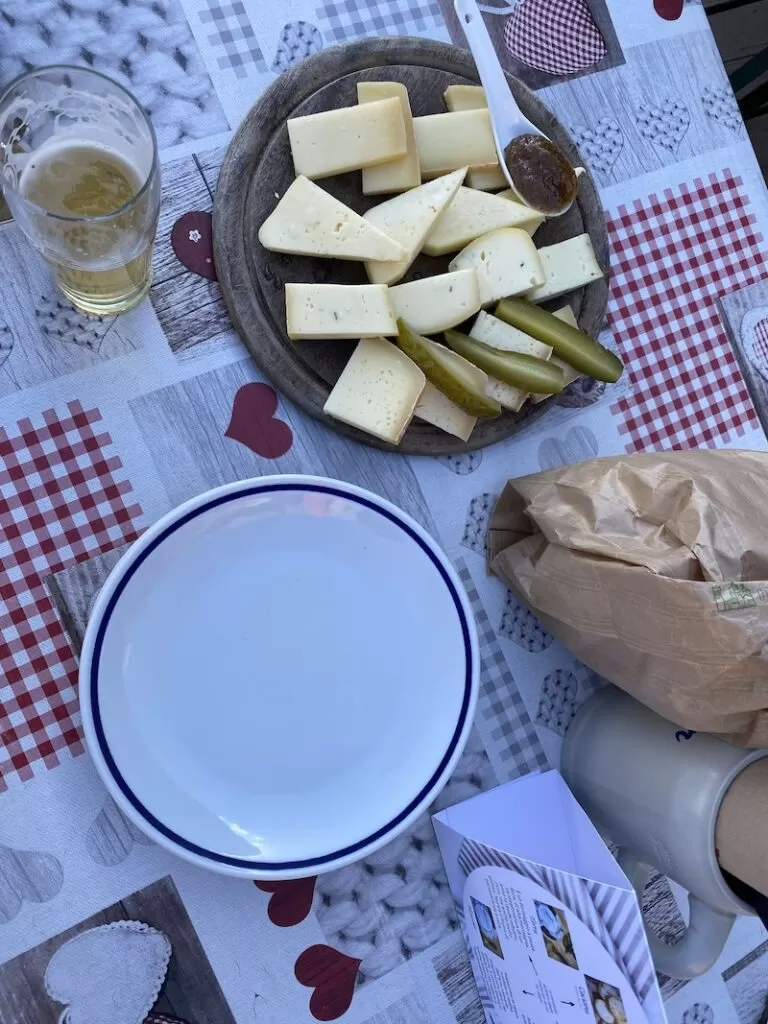
The Rifugio Sandro Pertini is very cute. When we arrived just before 4pm it was busy with day hikers and tourists enjoying a meal, snack or drink in the sun. We ordered an alpine cheese platter and Radlers. The platter came with four slices of four cheeses, bread and a written description of each. Delicious.
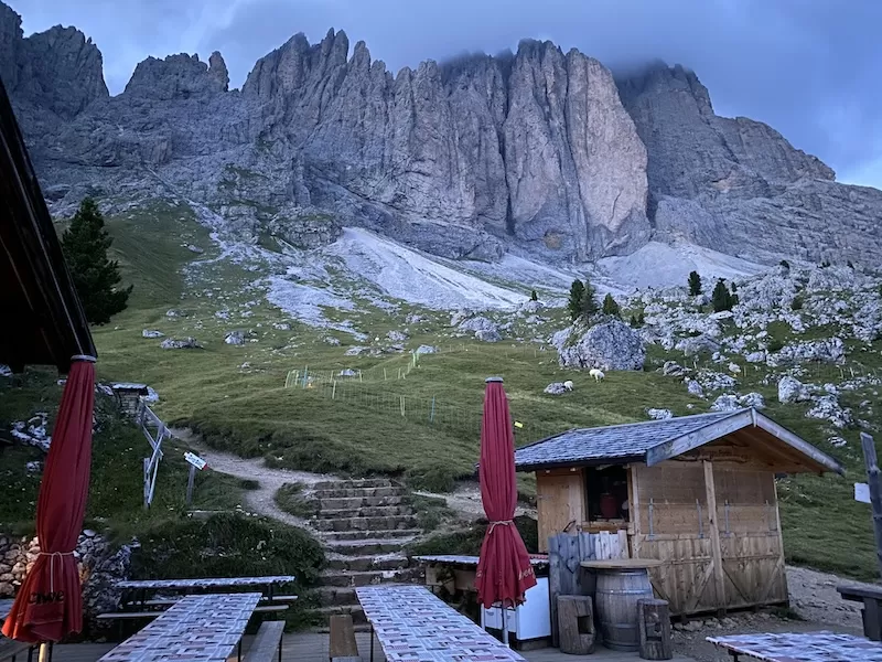
By 5pm they were closing for the day. And at 5:27 pm the sun was slowly setting. Quiet and serene. There were a few sheep nearby but otherwise, just me.
So, how was hiking the Dolomites day 2?
Torri Vajolet to Sandro Pertini
From Rifugio Re Alberto we descended steeply towards a valley. We stepped down onto white rock and stone. At the bottom, there was another rifugio with people rising for the day.
Passo Principe
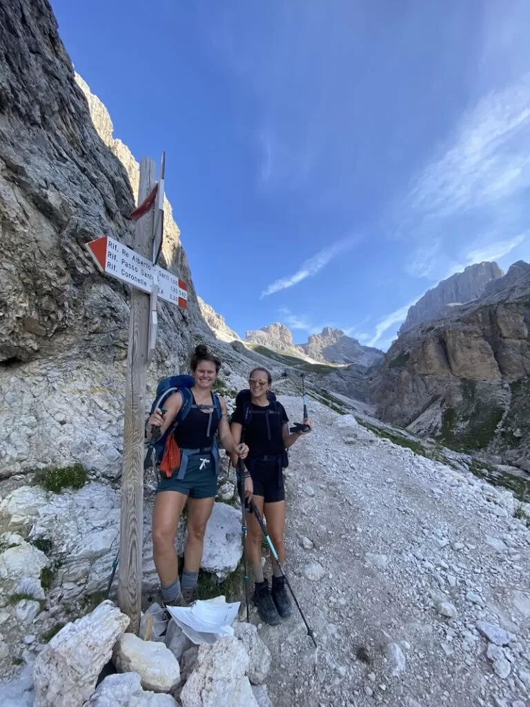
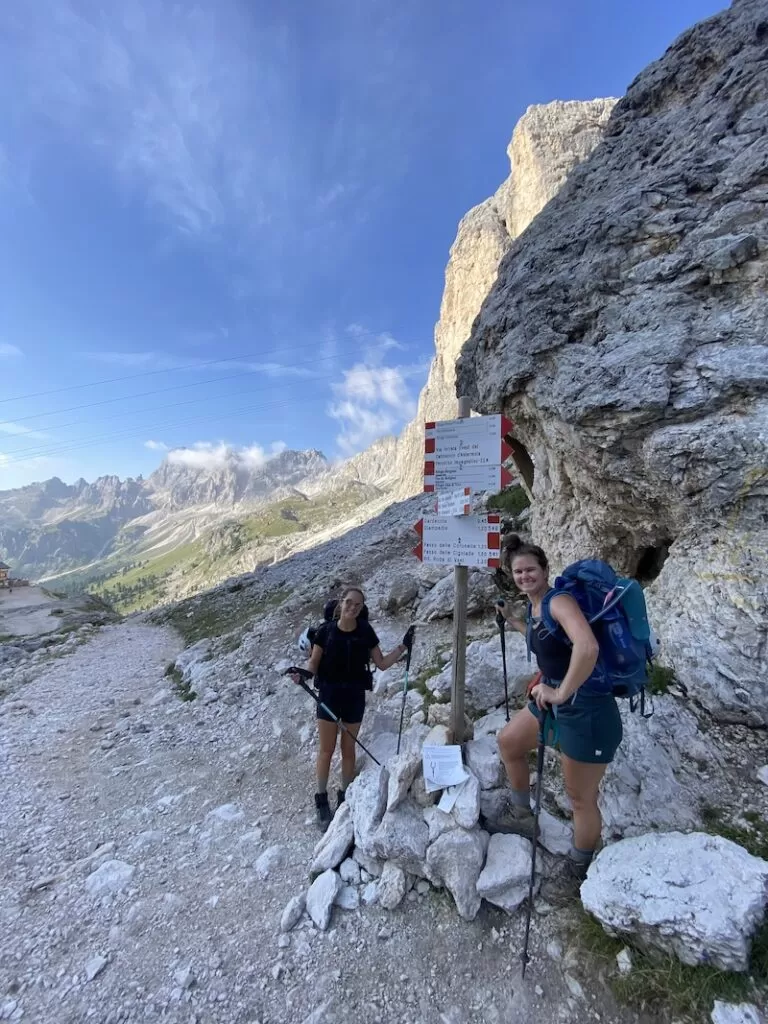
We turned left at the bottom of the valley and walked through the Passo Principe. Chiara informed me this is one of her favorite places in the world, and I could see why. The peace and 360 vistas are hard to beat. Like a screensaver.
Lago di Antermoia
After a gradual uphill bit on a wide stone path we reached Rifugio Passo Principe and turned right to go up towards Pas de Antermoia and later down to Lago di Antermoia. We sat by the far side of the Lago di Antermoia and put our feet in the icy water for some relief. By now we were about two hours into our second day in the Dolomites.
Just beyond the lake there is another rifugio by the same name, Rifugio Antermoia. We stopped to use the toilet and refill our water.
Passo di Dona
We continued on the trail, making our way gradually upwards. At the top we could see back where we came from, all white towering stone and gravel peaks. And where we were going, a green washed valley with trees and rolling hills. Lush pastures, grass and evergreen trees. I was shocked by the stark contrast. This area is called Passo di Dona, and was one of my favorite moments of hiking in the Dolomites.
Rifugio Micheluzzi
We followed the signs, descending down the increasingly crowded trail with ill-prepared day hikers towards the Val Duron and the Rifugio Micheluzzi. The journey there took about two more hours.
After the descent through grassy muddy ground we passed briefly through a wooded forest, hopped over a brook and landed on a gravel road that took us through Val Duron straight to Rifugio Micheluzzi.
We ate, drank, and rested a bit in the shade. We knew the last two hours would be mostly uphill. This family-run Rifugio Micheluzzi had delicious looking rustic meals and cakes. Worth a stop if you have time.
Ascent to Sasso Piatto and Pertini
The last part of day two was indeed, uphill from the get go. Luckily, it wasn’t too steep. But I was warm and the duration was getting to me. My feet were beginning to ache and my knees were acting like those of a much older lady.
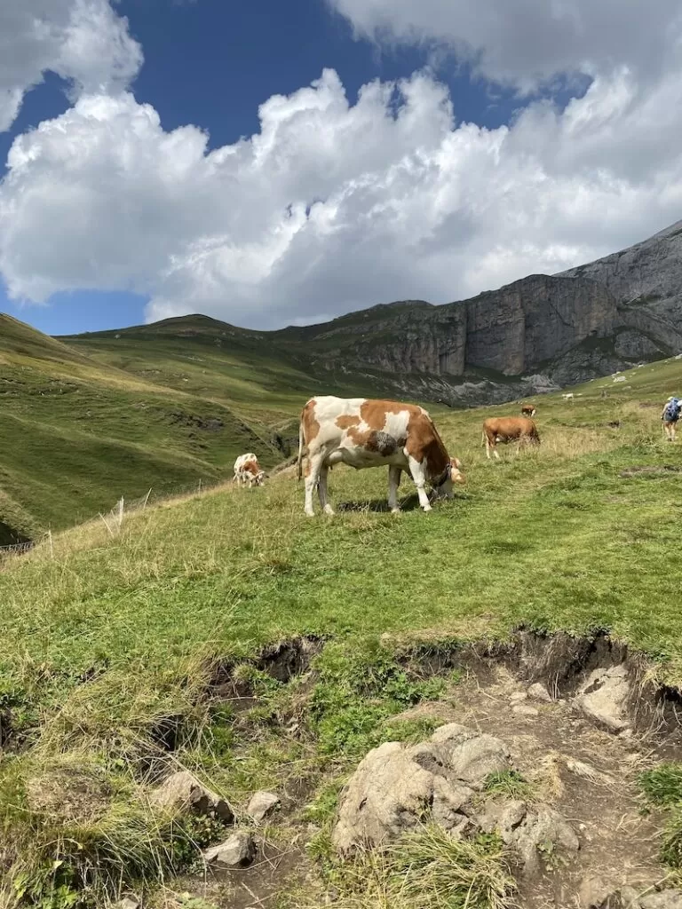
Luckily, after passing through the steep part in the forest, we came to a grassy pasture with sheep in the distance, and cows on the trail. The green land and the soft ground was a welcome change. The very last section from Sasso Piatto to Rifugio Sandro Pertini was another of my favorite views. I think the girls could tell, I was snapping photos and lagging well behind. This is a famous area called Friedrich August path.
We were high over the valley below and could see the mountain tops for miles around. This part of the Dolomites is definitely special. I felt so small amid the grandeur.
Dinner at Rifugio Sandro Pertini
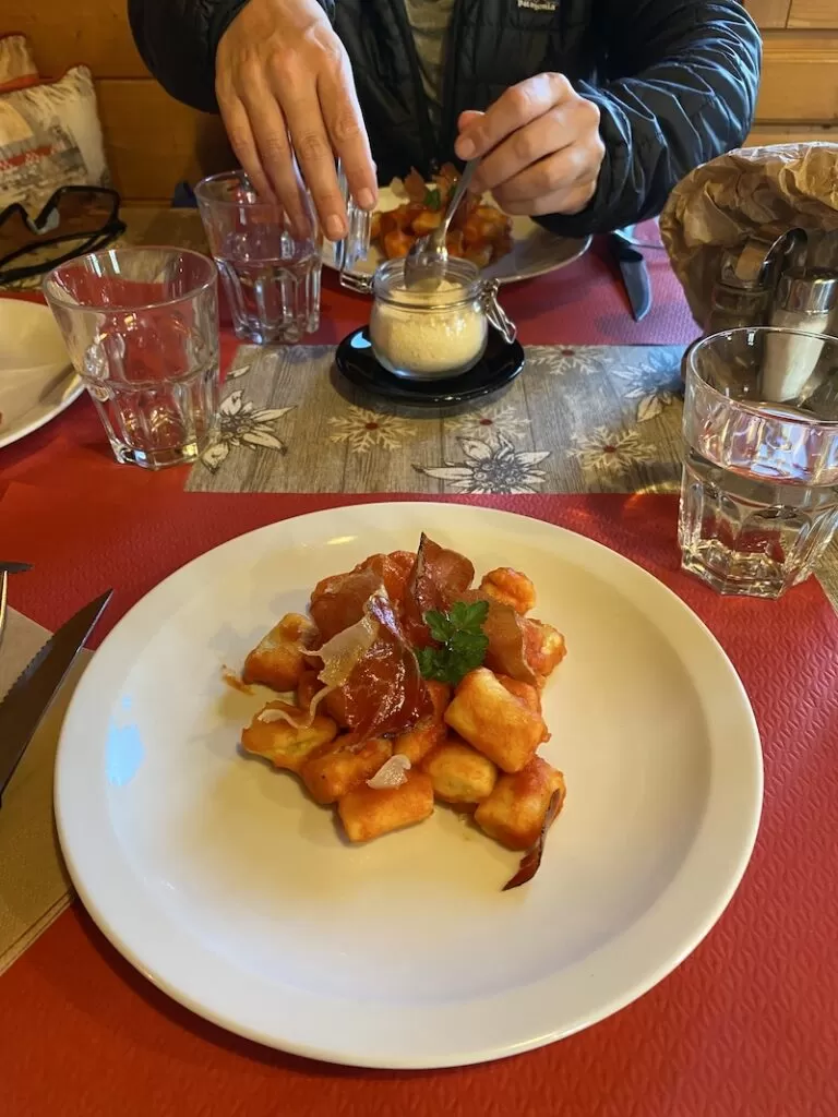
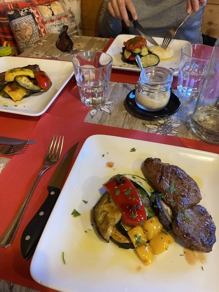
At Rifugio Sandro Pertini, dinner is served at 7pm. We enjoyed gnocchi with tomato sauce and fried prosciutto, deer with mixed vegetables and a tiramisu to finish. The staff at Sandro Pertini are absolutely lovely, one woman in particular. She filled our waters for free and convinced Julie to get a digestif to end the meal.
This meal, rustic with alpine ingredients, was more upscale than the previous night at Re Alberto. The vegetables and deer were surprisingly perfect, not gamey at all and the veggies roasted beautifully. The tiramisu was also a pleasant surprise, even Chiara agreed – and she makes a great tiramisu.
Day 2 stats
- Uphill 3625 feet (1.1 km)
- Downhill 4725 feet (1.44 km)
- Total distance 9.45 miles (15.2 km)
- Duration 7 hours 25 minutes
Hiking in the Dolomites day 3: Friedrich August Path to Capanna Piz Fassa
Ready for day three. It always seems that day three is easier than day two. By this point your body is used to the backpack and your feet are ready for walking. We woke early, enjoyed a really nice breakfast buffet and hit the trail around 8 am.
Friedrich August Path
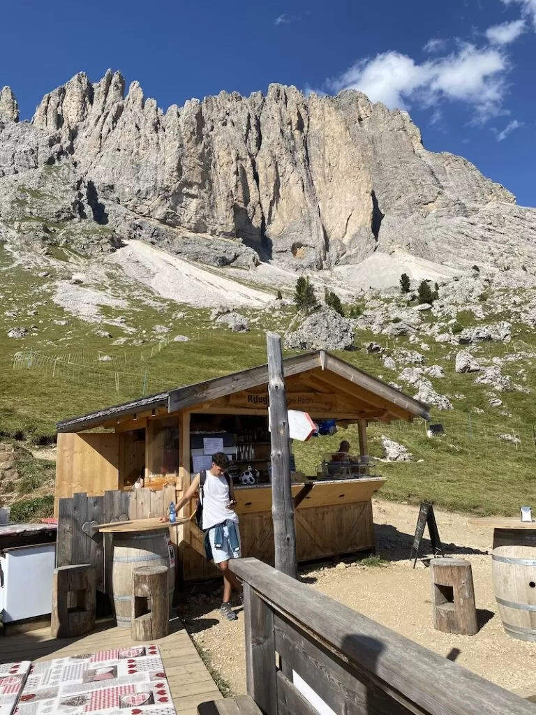
We had the friendly Friedrich August path all to ourselves. It was a mostly flat ridge that descended slightly towards Rifugio Friedrich August. This is a ritzy and newer rifugio in the area. It’s popular with Instagrammers and GenZ for the donuts (aka Krapfen) and pretzels hanging along the trail and the exquisite view overlooking the valley below. It is a good view, I get it.
Passo Sella and Torri di Sella
From here we continued through Passo Sella. A few years ago I skied here with my family. How much fun to see it in a completely different time of year.
Like yesterday, this area is popular with day hikers, bikers and climbers. It’s accessible via car and there are many campervans parked along the winding roads. We crossed back into the Trentino region and from there we could see the famous Marmolada glacier in the distance.
We walked briefly along the shoulder of the road, and then up a narrow dirt path towards a bouldery trail. Later we descended back into the road, curved around a sharp bend and took the trail off to the left. From there, we entered back into the forest to Val Lasties.


Val Lasties
We walked down for about 20 minutes before we began to ascend once more. We passed through a wooded area and an icy cold waterfall with a few basins suitable for swimming. Today was cloudy and cold, so we passed through and continued uphill for an hour or so.
The ascent was gradual, but it was still tiring. The path got wider and we decided to continue on the flat section until it ascended again. There, we would take our rest. Time to enjoy our lunch aka Pringles, nuts, bars and some stolen fruit from breakfast.
L’Antersass
The sun was covered by a large cloud so we got cold quickly. We also knew it was supposed to rain in the early afternoon, so we didn’t rest too long. It was around 11:30 am, halfway there.
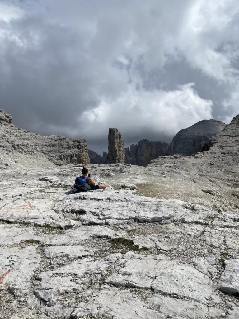
Next up, the real ascent. The rest of the day felt like we were climbing to the moon. I mean it. The ground transformed into moon land. Gravel, rocks and stones, a mysterious gray color, completely desolate, not a soul in sight.
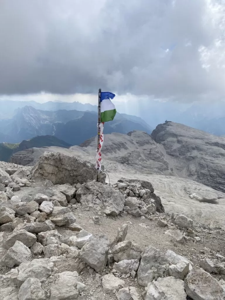
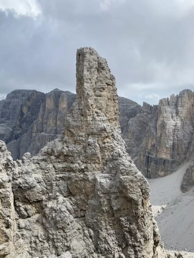
There was no one around, and I was out of breath. The ground was loose rock and white stone. It just seemed to go and go for miles around. Eventually we reached a flat section, L’Antersass (9540 ft / 2908 m), with a magnificent rock formation and a steep cliff in the distance.
We continued on to Piz Boè Alpine Lounge and went inside before finishing the final steep peak to where we’d sleep. It was getting cold and we needed some tea.
It was the weekend and the lounge was busy with day hikers and tourists who had taken the gondola up. After the journey we had I was indeed aggravated to see children and elderly, but hey, that’s hiking.
Rifugio Capanna Piz Fassa di Bernard Guido
The last part was indeed as steep as it looked. The loose gravel and crowded trail didn’t make it any easier to manage. Many people descending were stumbling and sliding, loosening the rocks beneath them.
I was relieved (and starving) when we finally reached the summit. We collectively housed our last snacks, a bag of cheese puffs and chocolate wafers, admired the views, and stepped inside to check in to Rifugio Capanna Piz Fassa di Bernard Guido.
We had arrived just in time. The wind was really picking up and the clouds were rolling in, making the views more challenging to see. We posted up at a table inside and played Monopoly Deal (a great trail game) and drank Radlers before dinner.
I was happy I brought warm clothes and rain gear for this section. We enjoyed dinner, similar dishes to the previous nights, but not quite as tasty. After dinner we climbed into bed. Not long after, the walls started shaking and panels started creaking. The wind was picking up and the storm was rolling in. All night long the hut swayed back and forth, creeking louder and louder. It was impossible to sleep. Lightning lit up the sky and thunder rumbled.
Day 3 stats
- Uphill 3725 feet (1.13 km)
- Downhill 925 feet (0.28 km)
- Total distance 8.38 miles (13.5 km)
- Duration 6 hours 50 minutes
Hiking in the Dolomites day 4: Descent to Canazei
We had planned to wake up early so we could complete our final day, day four in the Dolomites on foot and make the bus back to Trento. When we woke up, Julie and Chiara went downstairs to talk with the staff, they of course suggested we wait a bit. I went back to sleep for a while, packed and went down to breakfast. Then we left.
First the steep pass down, much easier than the side we had come up the day before. We got to the base and it flattened out. We passed down a bit lower and passed by Rifugio Passo Pordoi (9343 ft / 2848 m). At this rifugio they have some farm animals, including a friendly chubby pig. And also a toilet on a cliff. Quite the place to pee.
From there we would have begun the descent to town. But given the time it wasn’t possible. Instead we hiked uphill to the gondola and took it down to Terrazza Delle Dolomiti.
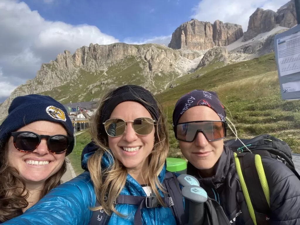
Once in town, we walked over to the bus stop and took the bus to Canazei town. We transferred in Canazei to Trento and Chiara’s dad picked us up at the train station to drive back to the lake house.
After four days hiking in the Dolomites we were ready (and highly deserving of) for delicious pizza with friends. Ready to head out yourself? Here’s a packing list to get you started.


